|
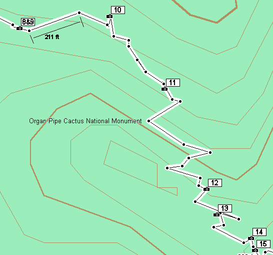
Waypoint 8: (N32.01607 W112.70270)
Ahead of us the divide becomes a very high steep ridge composed of volcanic breccia. This rock is formed when lava flows pick up large amounts of broken-up solid rock pieces, which then become embedded in the cooled lava. The trail continues along at the base of this ridge on the north side.
On the south side of the trail is a group of golden-spined hedgehog cacti (Echinocereus nicholii). These hedgehogs differ from the more common and widespread strawberry hedgehogs (Echinocereus engelmannii) in that the former have yellow spines and a less brilliant flower color.
To the south of the trail is a large grouping of Indian mallow (Abutilon incanum). These relatives of cotton, hibiscus, globemallow, and marshmallow occur commonly in rocky mountainous situations and along rocky washes.
Waypoint 9: (N32.01620 W112.70154)
At this point is where the upper end of the Estes Canyon trail joins the Bull Pasture trail 1.3 miles from the trailhead. A thick layer of welded tuff dominates the view straight ahead. The ridge of volcanic breccia (a type of conglomerate) towers above the trail blocking out the sun at all times except the summer.
Waypoint 10: (N32.01545 W112.70087)
Here we first see shindaggers (Agave schottii) along the trail. These plants, also called Amole, differ from other agaves in that they have a spreading habit, resulting in large areas being covered making travel difficult. They send up very tall flower stalks like other agaves. Here are also some prickly pears (Opuntia engelmannii).
Waypoint 11: (N32.01541 W112.70082)
At this point is seen the first plant of Arizona rosewood (Vauquelinia californica) along the trail. This is a small tree found only in the mountains and not in the desert below. More of these plants are scattered from here to the overlook. Here also are the first occurrences of desert hopbush (Dodonea viscosa), holly-leaf buckthorn (Rhamnus crocea), and Bigelow ragged rock flower (Crossosoma bigelovii) along the trail. These are plants typically found in canyons and shady rocky places and cliff in high desert mountain ranges.
Waypoint 12: (N32.01432 W112.70028)
A little way to right of the trail is an Ajo oak (Quercus ajoensis). These are ecological equivalents of shrub oaks in the higher mountains to the east, although this is the only place where this species occurs. These oaks are scattered in different places through the Ajo Mountains and are fairly tall trees in some areas.
Waypoint 13: (N32.01404 W112.70015)
To the right is a roseberry juniper (Juniperus coahuilensis). These also occur in scattered locations throughout the Ajo Mountains where conditions are favorable. Some can be seen clinging to cracks in the rock above the trail. These or other junipers are probably holdovers from glacial times when the climate of North America was much cooler and wetter. The desert at that time may have resembled some areas of the present-day Great Basin and junipers may have occupied the valley floors.
Waypoint 14: (N32.01378 W112.69971)
The trail has now passed the high conglomerate ridge and has come back onto the Estes Canyon divide. On the north and northeast-facing slopes can be seen carpets of club moss (Selaginella arizonica). This low-growing plant is not a true moss but is related to ferns. Reproduction is through spores rather than seeds like with flowering plants.
Waypoint 15: (N32.01365 W112.69966)
Here the trail follows the Estes Canyon Divide, crossing part of a layer of welded tuff. You can get a close look at the yellow-green lichen that gives the tuff its yellowish cast when seen from a distance.
Looking south is a spectacular view of the southern part of the Monument and Mexico beyond that.
|